
Ngôn ngữEnglish
The coastline of Côn Đảo is shaped by sandy coves, rocky headlands and green hills that reach down to the water. This gallery starts at Bãi Nhát, then looks further out towards nearby islands photographed from the sea.
These images introduce the landscape, not a fixed tour route or an available speedboat service. The colour and condition of the sea may be very different on the day you visit.
Bãi Nhát: many views of one coastline
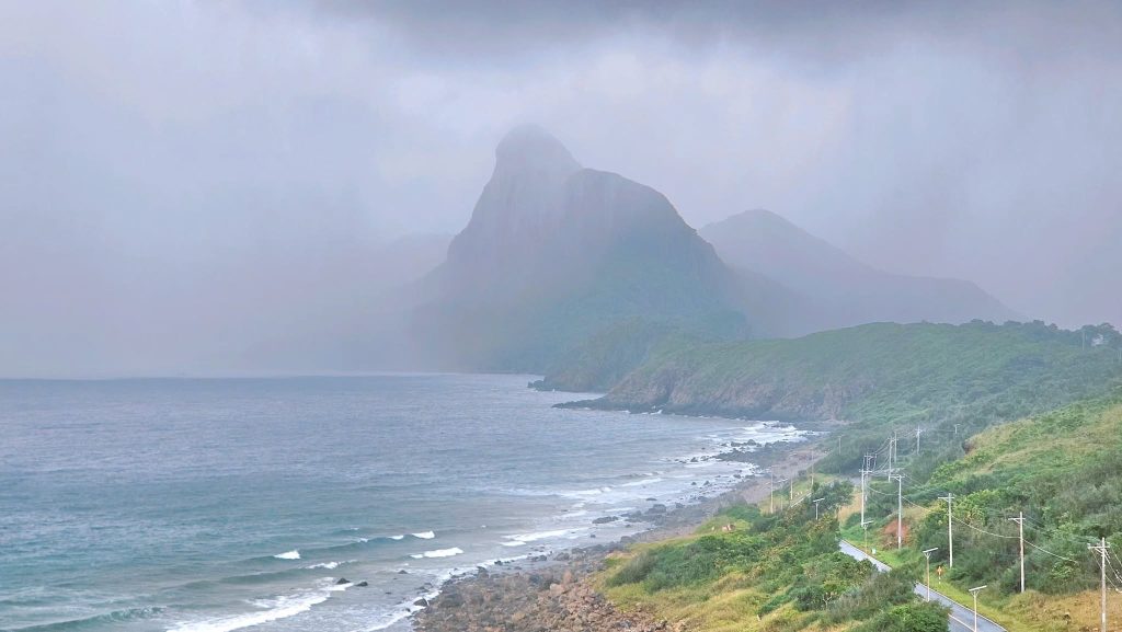
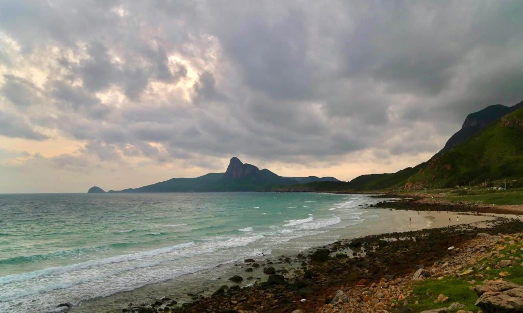
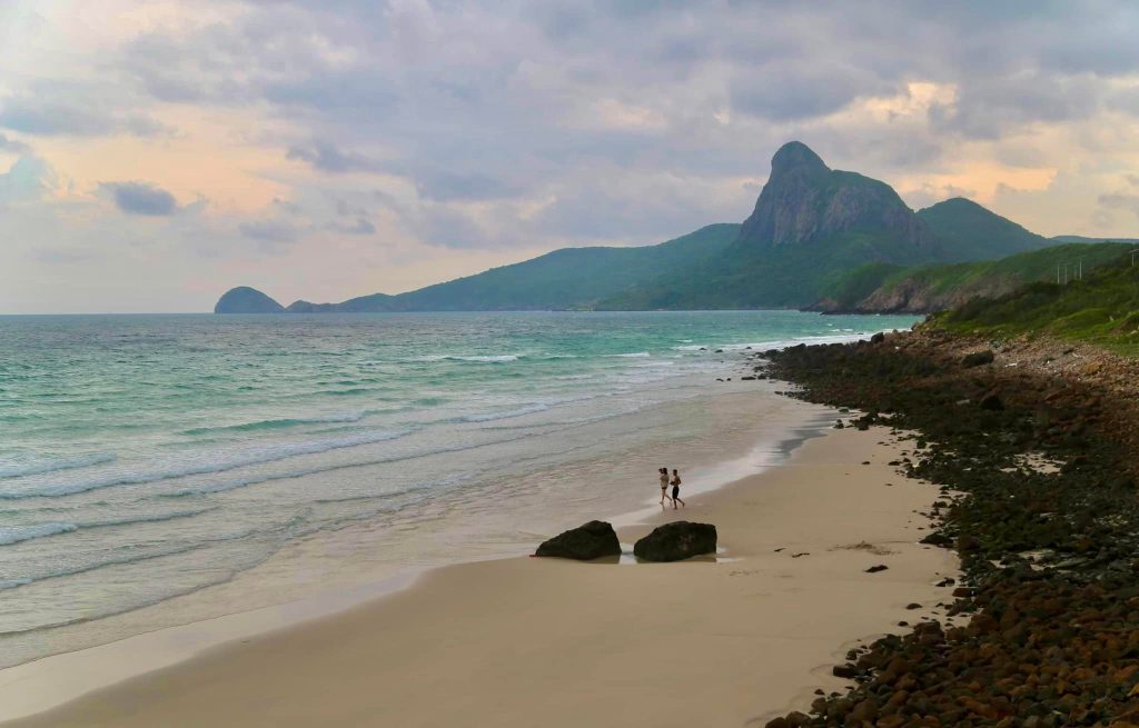
From above, Bãi Nhát sits below a road that follows the hillside, with cloud-covered mountains in the distance. Closer photographs reveal the sand, rocks and small waves. Take time to enjoy the view, but choose a permitted parking spot and keep away from unstable edges.
Hòn Bông Lan: cliffs above the sea
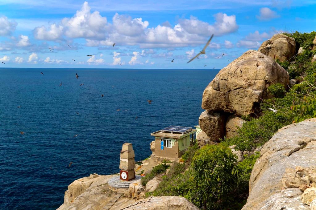
Around Hòn Bông Lan, steep coastal rock, low vegetation and birds above the water make a striking scene. A small marker and a modest structure appear in the photograph. Viewing the island from a boat may be possible only under suitable sea conditions and local rules.
Hòn Bảy Cạnh and Hòn Tài Lớn from the water
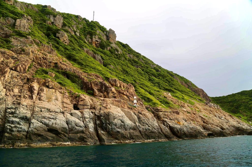
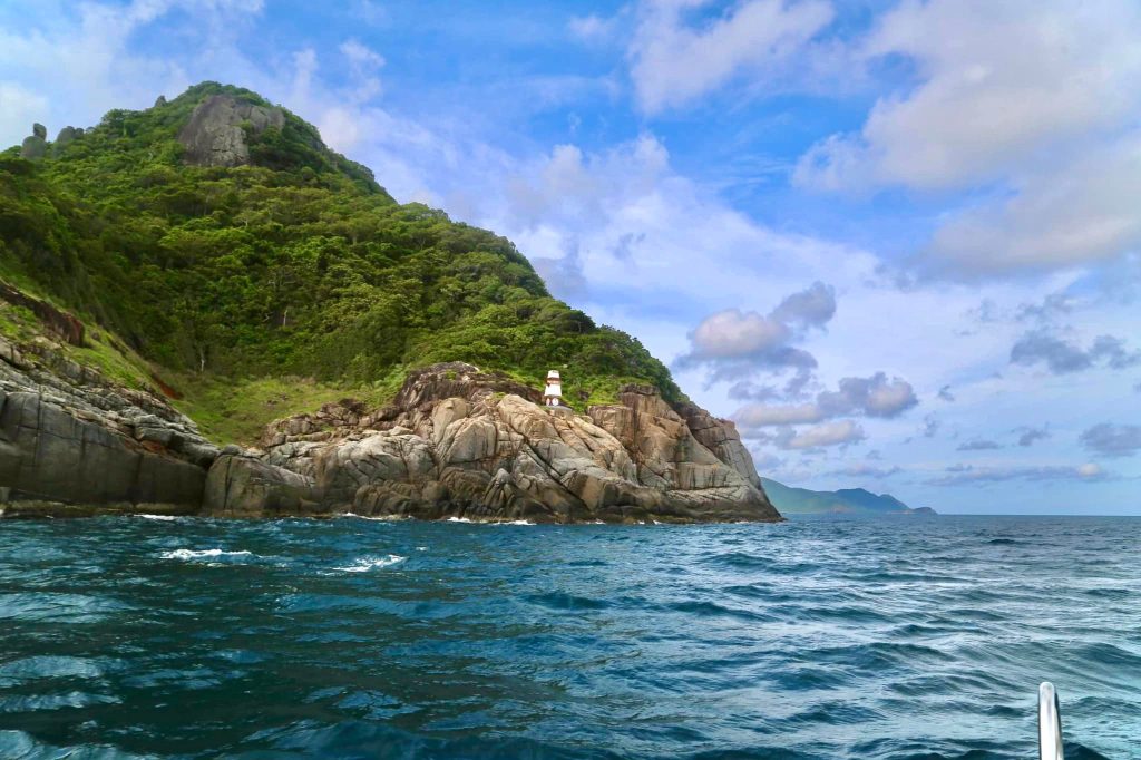
These islands have green-covered headlands and rocky edges. The small markers visible in the photographs are useful details, but the real attraction is the relationship between forested slopes and clear sea.
Turning photographs into a trip
If you want to explore the smaller islands by boat, ask a licensed operator which routes are permitted, whether landing is allowed and how the weather affects departures. At Bãi Nhát, do not stop vehicles in unsafe places or climb onto exposed rocks simply to take a photograph.
For trip planning, see the site’s destination guide and check ferry schedules separately before booking accommodation.